Agriculture & Viticulture
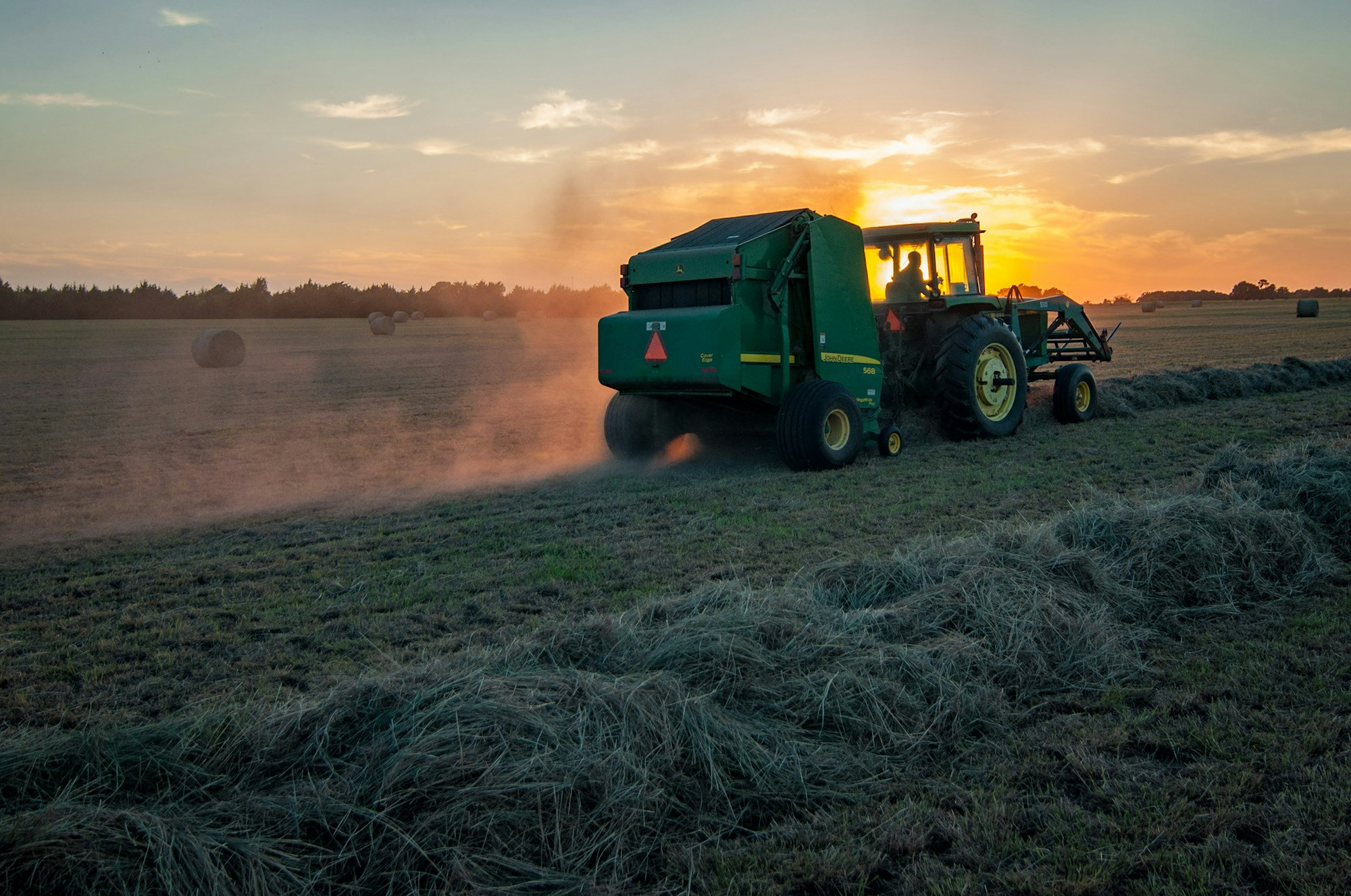
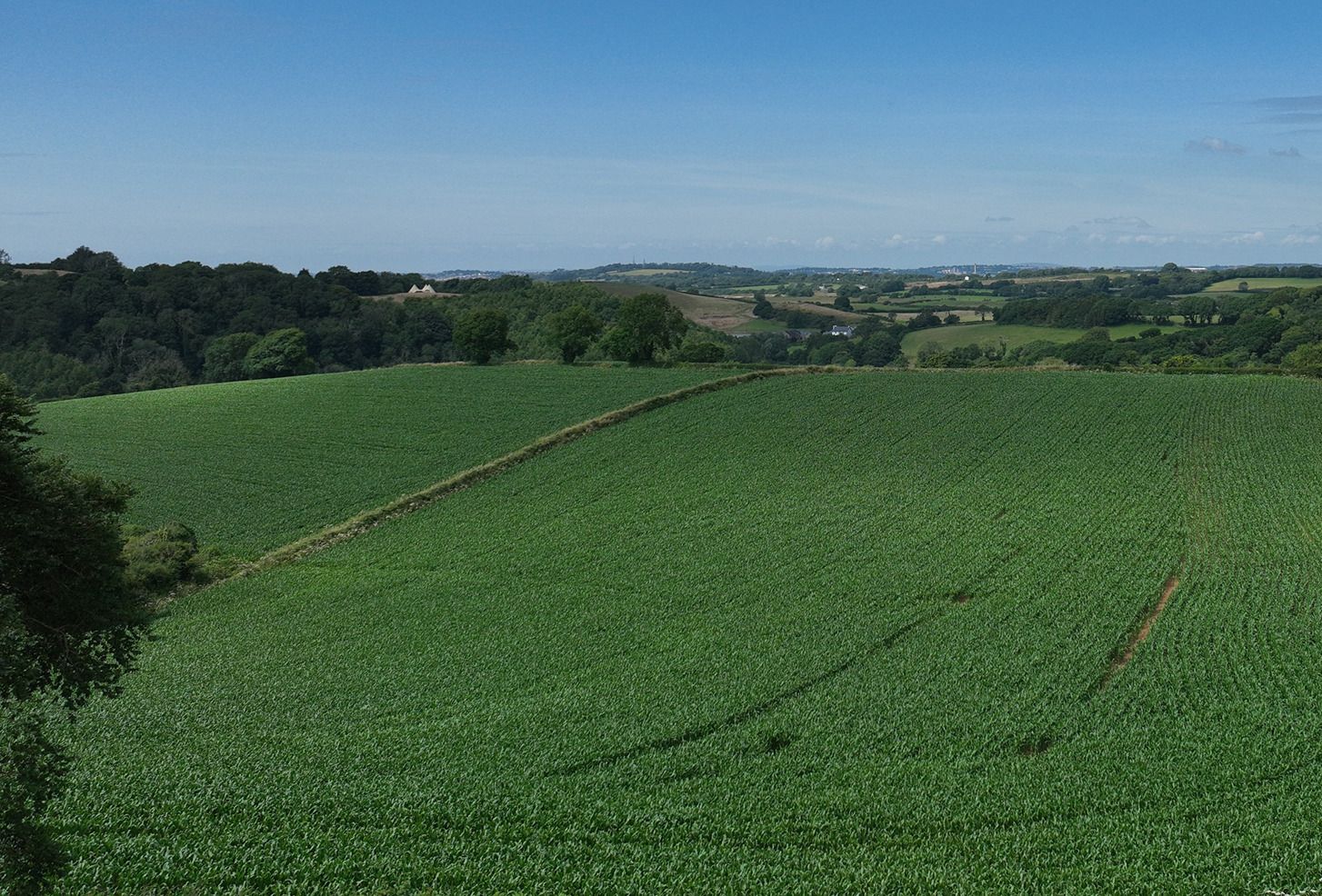
Multispectral monitoring of crops can help reduce costs, reduce waste and increase crop yields by identifying poorly performing areas early. Early detection of pests, failed crop areas, nutrient deficiencies, soil erosion and irrigation problems can help maximase crop yield while reducing farming costs. At Environmental Drone Services Ltd, we use different index maps to suit your requirements and prescription mapping to ensure your water, fertiliser and pesticide is applied where needed at the volume required. Our prescription and spot spraying maps are compatible with tractors, sprayers and spray drones, saving you money acre by acre and reducing your environmental impact.
Multispectral Drone Surveying
Services we provide include:
❖ Determine crop health & nutrient deficiencies
❖ Identify pests, disease, damaged areas and weeds
❖ Monitor soil health and soil moisture content, so you only use as much water as you need
❖ Prescription pesticide and fertiliser usage, so you only use as much as you need in the areas you need it, reducing costs, waste and environmental impact.
❖ Identify areas where plant plugs have failed, enabling replanting in good time.
Vegetation Indices, Orthomosaic, Zonation and Prescription Maps
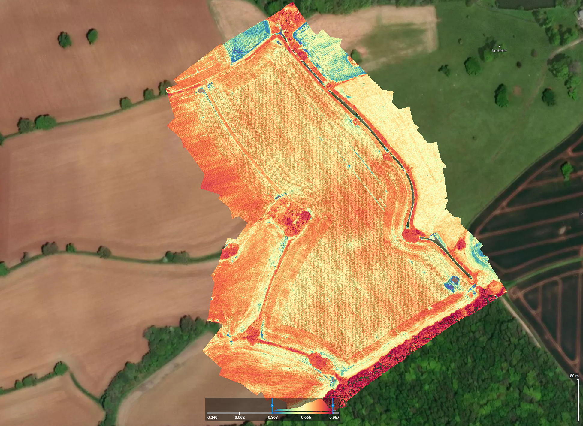
Using multispectral and near-infrared data collected by drones, vegetation indices are calculated using different spectral bands to assess the health and stresses on crops. These index maps can be used to create prescription application maps, to optimise farming processes, reducing waste, reducing environmental impact, while saving money and time.
High resolution orthomosaic maps are created along with Digital Surface Models (DSMs). These can be annotated to quickly and easily see areas of concern. Combined with vegetation indices, DSMs can be used to spot areas of soil erosion and poor soil irrigation or drainage.
Based on the crop health analysis, prescription maps and spot spraying maps can be created for fertiliser, pesticide, herbicide and water, with variable rate application, ensuring you get the right amount of product, where you need it. Using these high resolution images, it is possible to estimate the yield of a crop using crop counting.
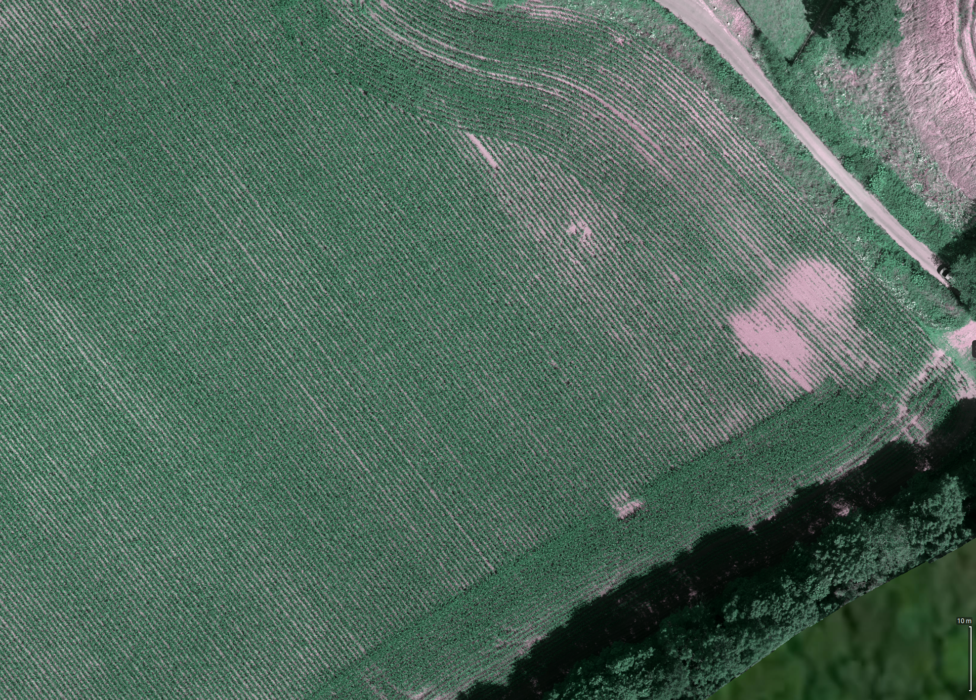
RGB Orthomosaic
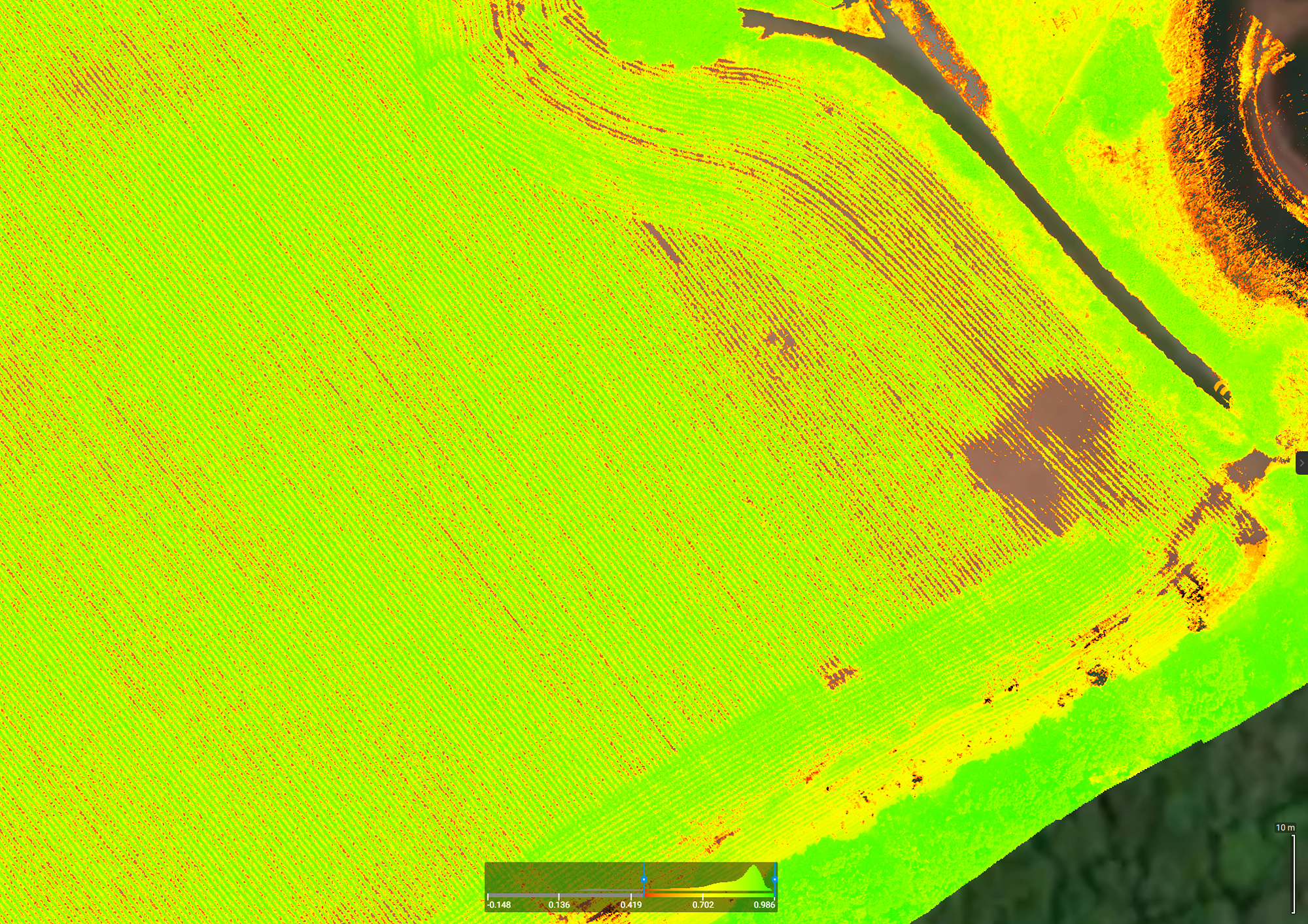
NDVI
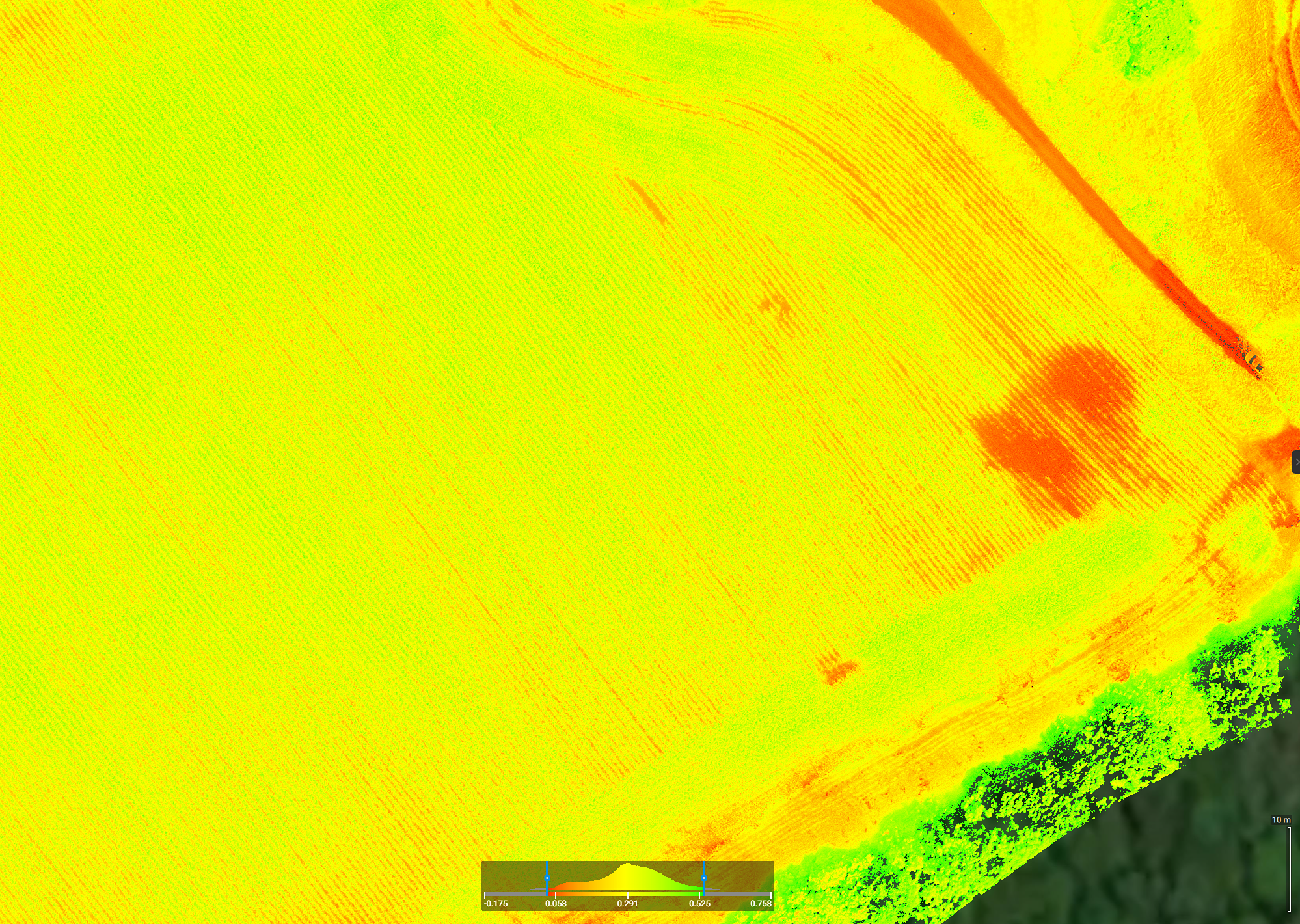
NDRE

GNDVI
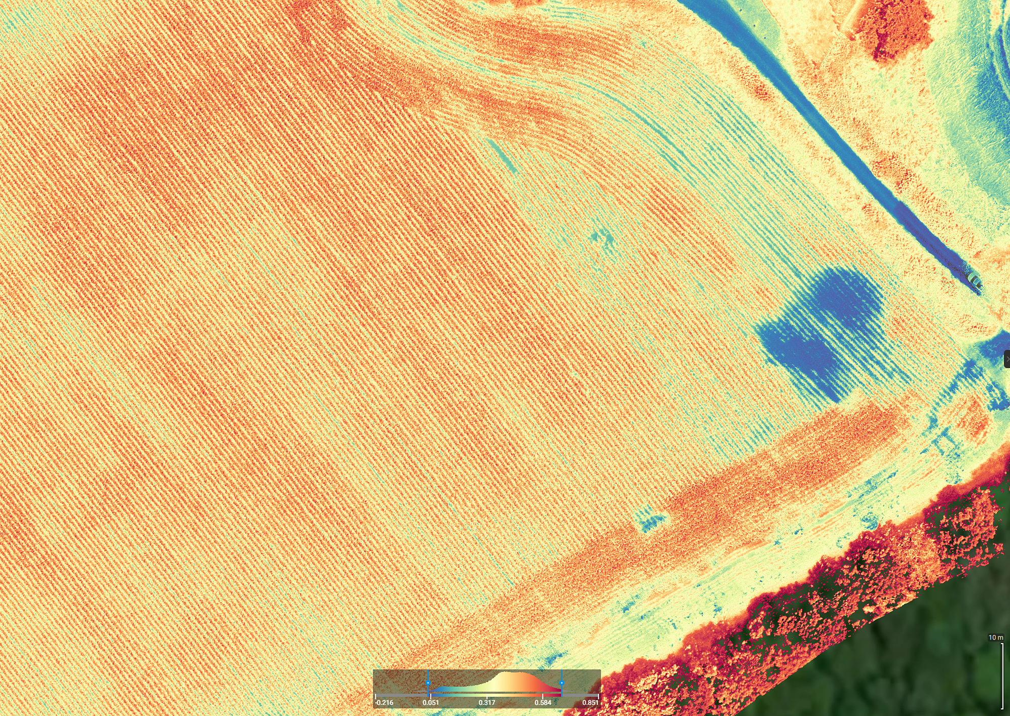
LCI - in Turbo
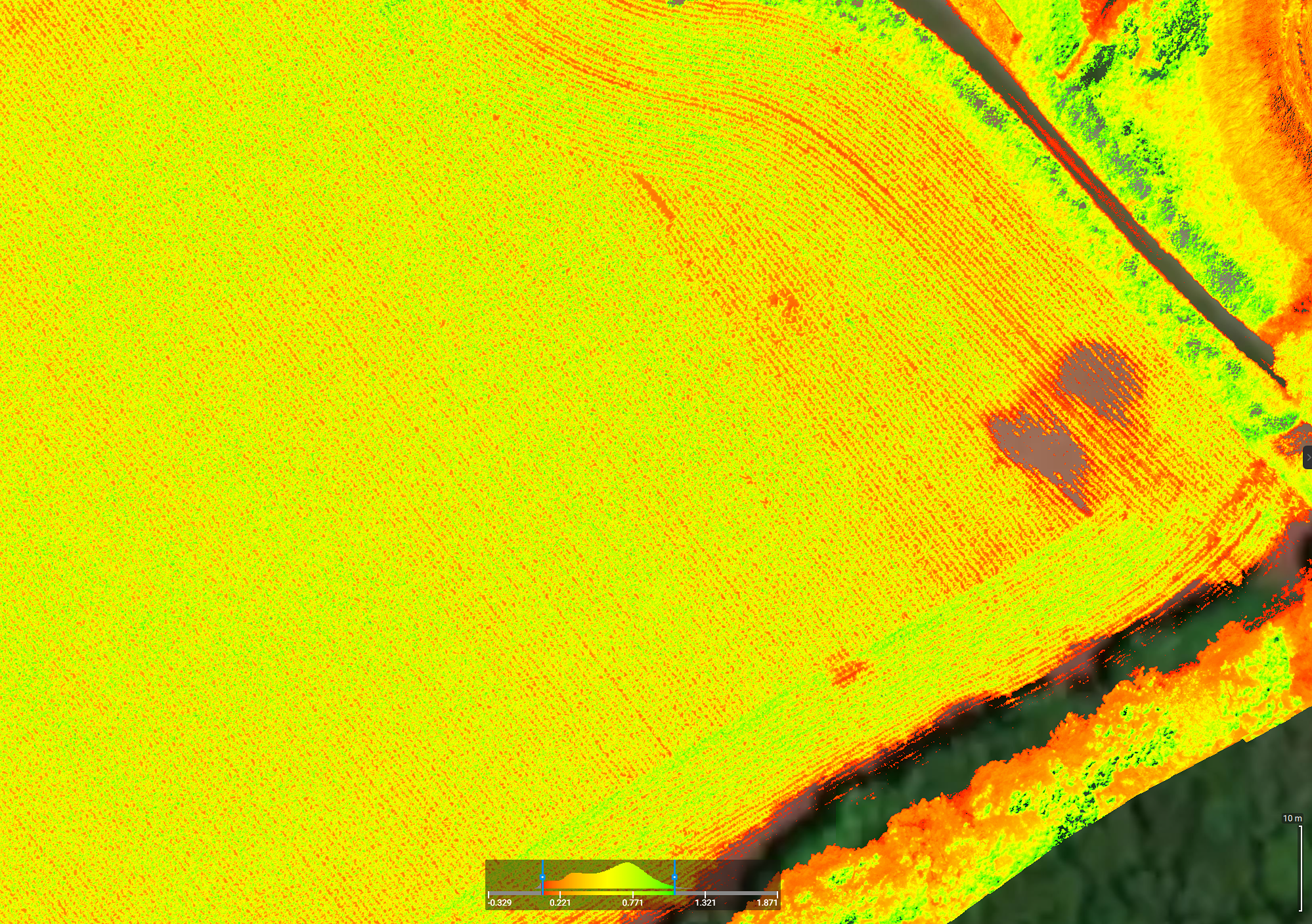
MCARI
