Ecology and Environment
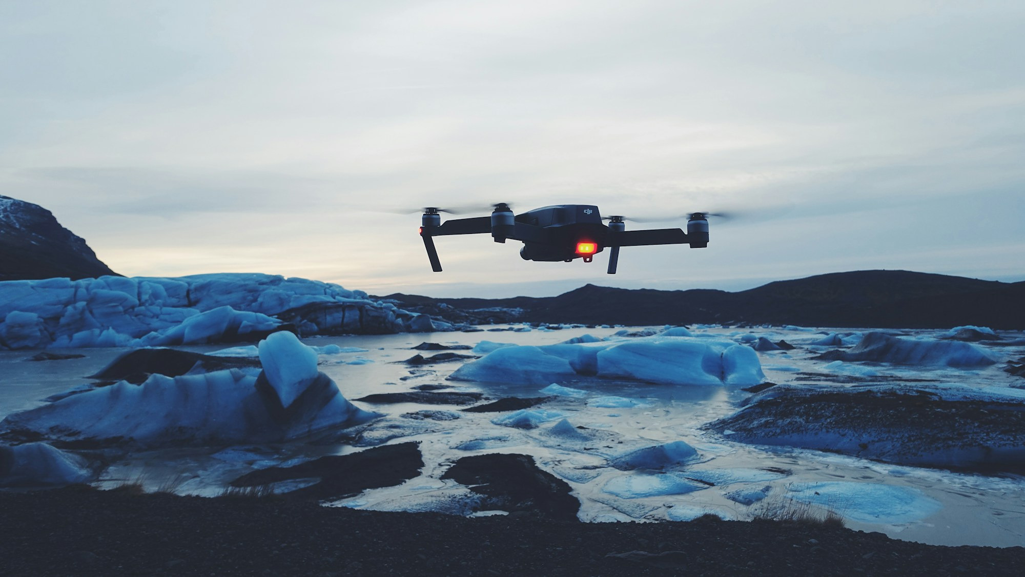
Drones are one of the most versatile and powerful tools for monitoring environmental and ecological changes. From tracking wildlife populations to assessing the impacts of deforestation, drones have transformed how we can collect data and make informed decisions to preserve our planet and its delicate ecosystems.
At Environemtal Drone Services Ltd., we use the latest enterprise drone technology to map, monitor and survey a wide variety of habitats, wildlife, disease and pollution. We can create high resolution geo-referenced maps that can be imported into GIS and high resultion imagery that allows monitoring of habitats, landscapes and environments. We can employ multispectral, visual and thermal imaging to achieve your project.
Technology for Environmental Monitoring
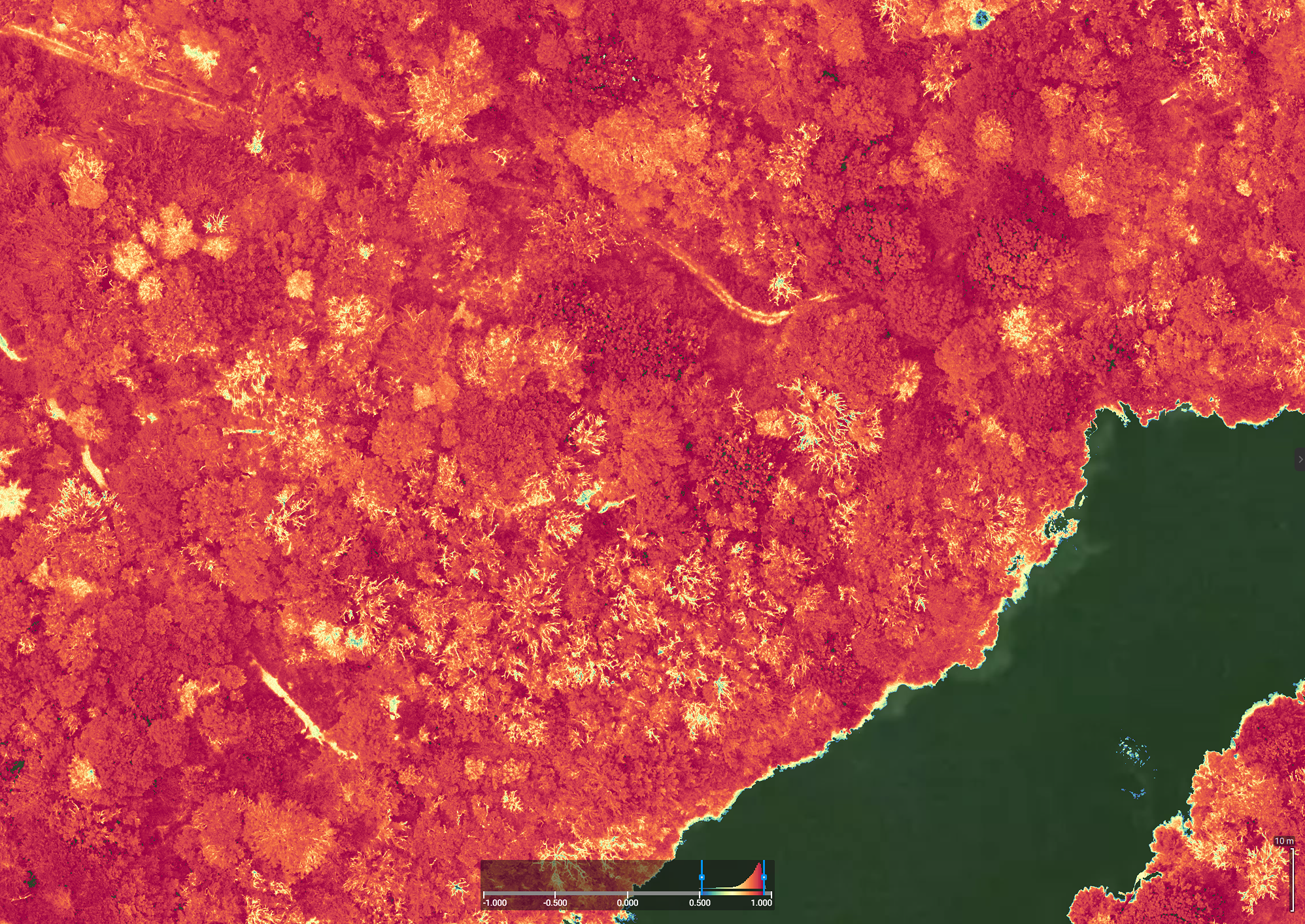
Drone technology can help us understand and monitor how habitats and landscapes change. Drone technology can create repeatable, detailed maps and 3D models of natural habitats. Thermal mapping of wildlife and multispectral analysis of vegetatation health, can all be combined with high resolution maps in GIS applications, to give a detailed picture of an area, aiding informed decision making.
Drones are particularly useful in remote and hard-to-reach areas, as they allow researchers to quickly, easily and safely monitor forests, wetlands, rivers, coasts and other ecosystems that were previously difficult to access.
Examples of Applications
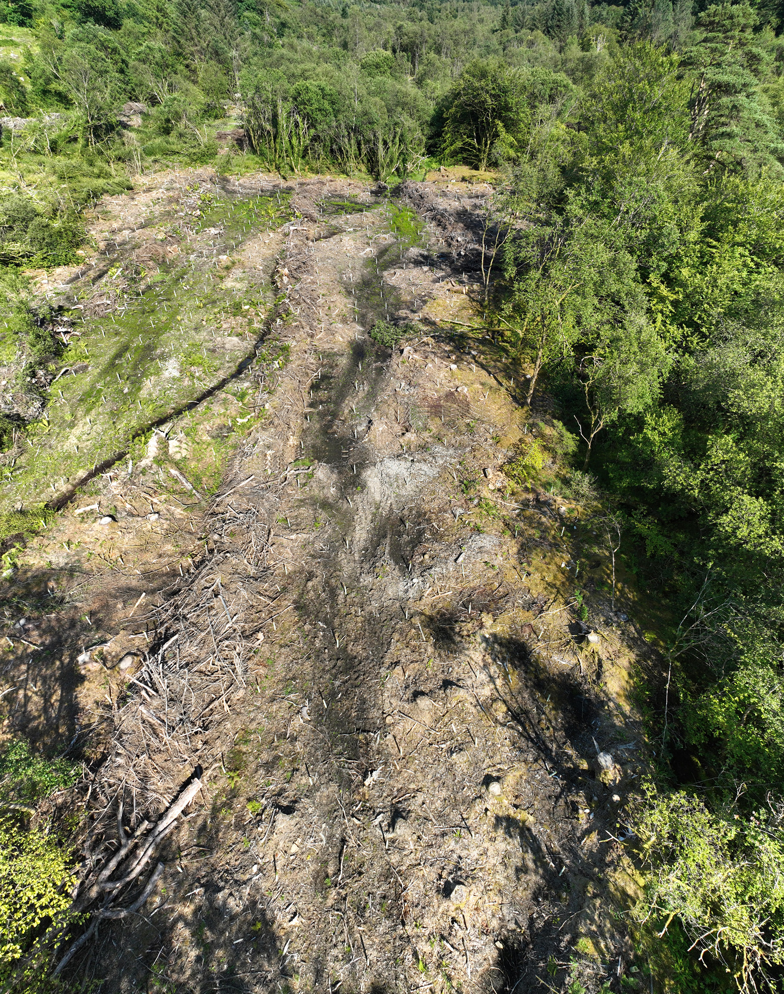
❖ Habitat restoration projects and seasonal change
❖ Large mammal surveys and point counts for population numbers and distribution.
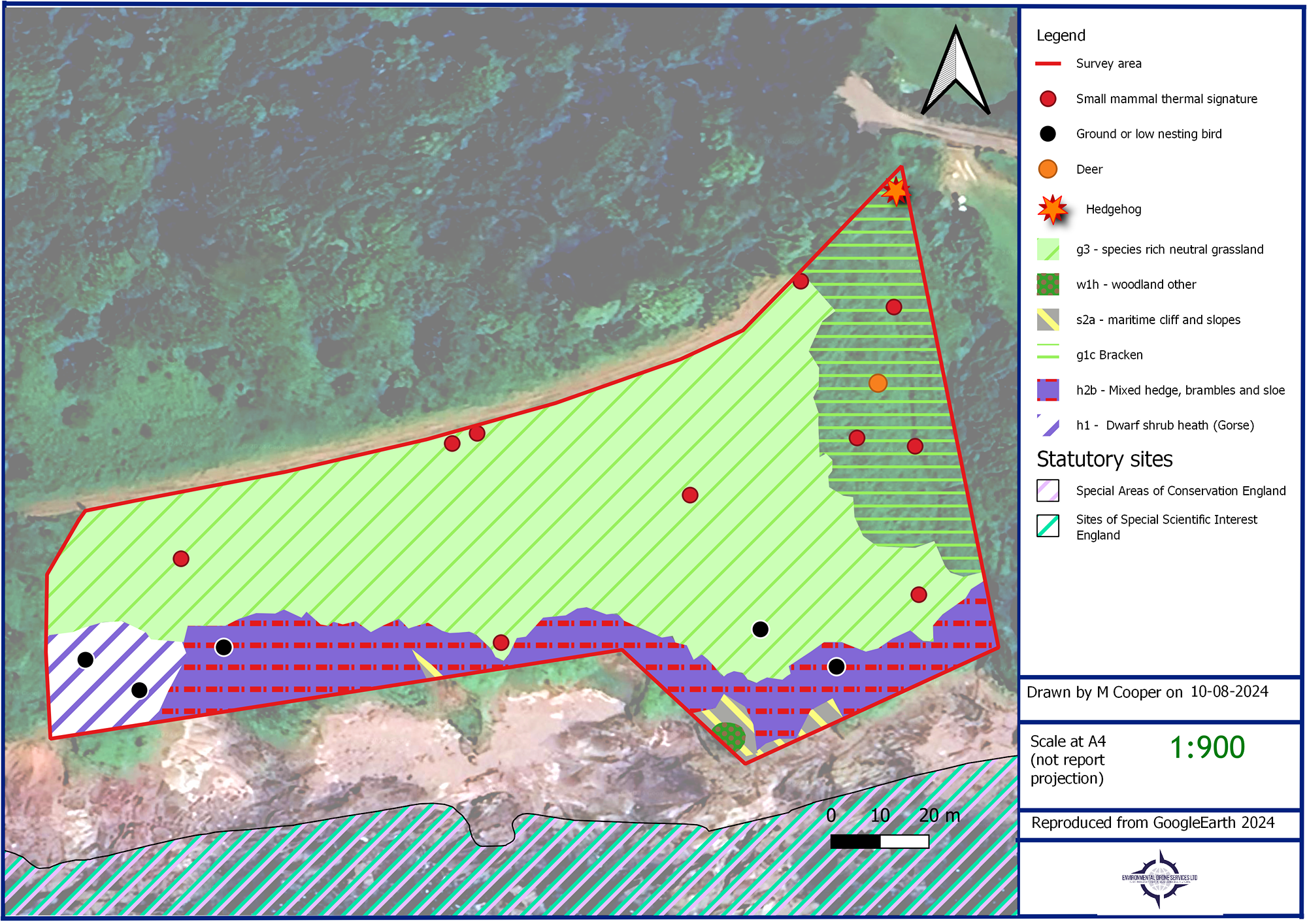
❖ Presence surveys of nocturnal wildlife e.g. hedgehogs; small mammals in open habitats.
❖ Disease monitoring e.g. Ash dieback
❖ Ground nesting bird surveys e.g. Nightjar
❖ Coastal and estuarine bird populations e.g. Curlew.
❖ Assessment of hedgerows before management.
❖ Coastal ecology e.g. coastal mapping and habitat composition and analysis.
❖ Pollution event monitoring and mapping
